water ways
The series of images below represent different (and often colonial) water pathways in the “Colorado River Basin,” an area that aggregates all streams, washes and tributaries in the region that eventually flow into the Colorado River and eventually into the Pacific Ocean. The water is critical for the seven Colorado River Basin states and the lifeblood for more than 30 Indigenous nations.
The physical infrastructure and legal understanding of this water keeps these colonial practices in place. But from my perspective, the water isn’t a system or a singular thing. It is disaggregate water ways; sites where water gathers into puddles, flows in streams or washes, or is often absent between rain storms.
Most of these images were taken throughout the State of Arizona and the Navajo Nation while I was doing research on the history of the Colorado River and the colonial understanding of the river that makes it a singular system in our minds. A couple of photographs were taken while guests on the homelands of the Yurok People at the confluence of the Klamath River with the Pacific Ocean. Some pictures feature political events, which might not seem to be obviously ‘water’ but actually reflect water rights deliberations within the Navajo Nation.

A windmill for water, against the morning light. This image was taken at a water well, tank near Lower Greasewood on the Navajo Nation. Taken on a Hasselblad Xpan on Kodak Portra 400.

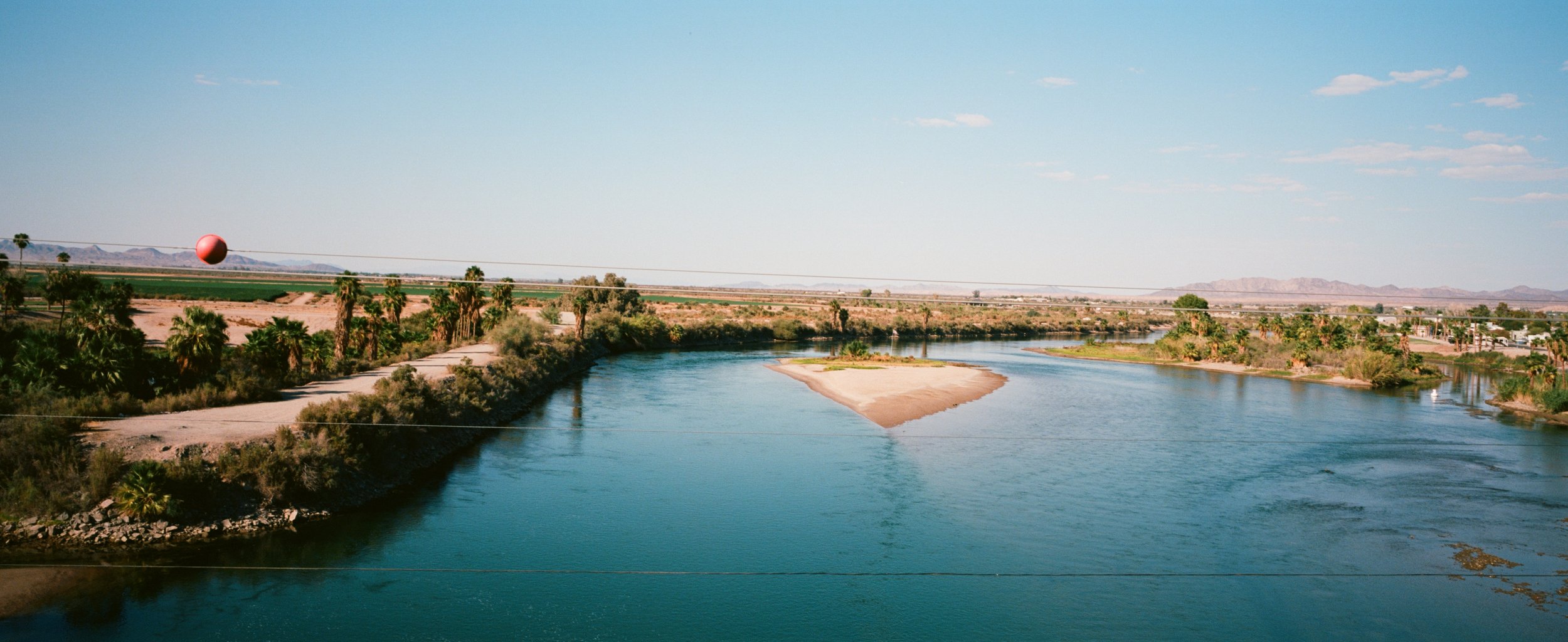
The Colorado River at the Arizona and California state boundary. In fact, the river is the western most boundary for Arizona. Taken on a Hasselblad Xpan using Kodak Ektar 100 film at f/22.

This photograph was taken at a water tank between the Navajo communities of Burnside Junction (Ganado) and Lower Greasewood. During the water rights settlement in 2012, organizers painted 'Water is Life' on the tank and to this day the mural remains, although the Navajo Nation still doesn't have a water settlement with the state of Arizona. This was taken on a Hasselblad Xpan with Kodak Portra Film 400 speed.

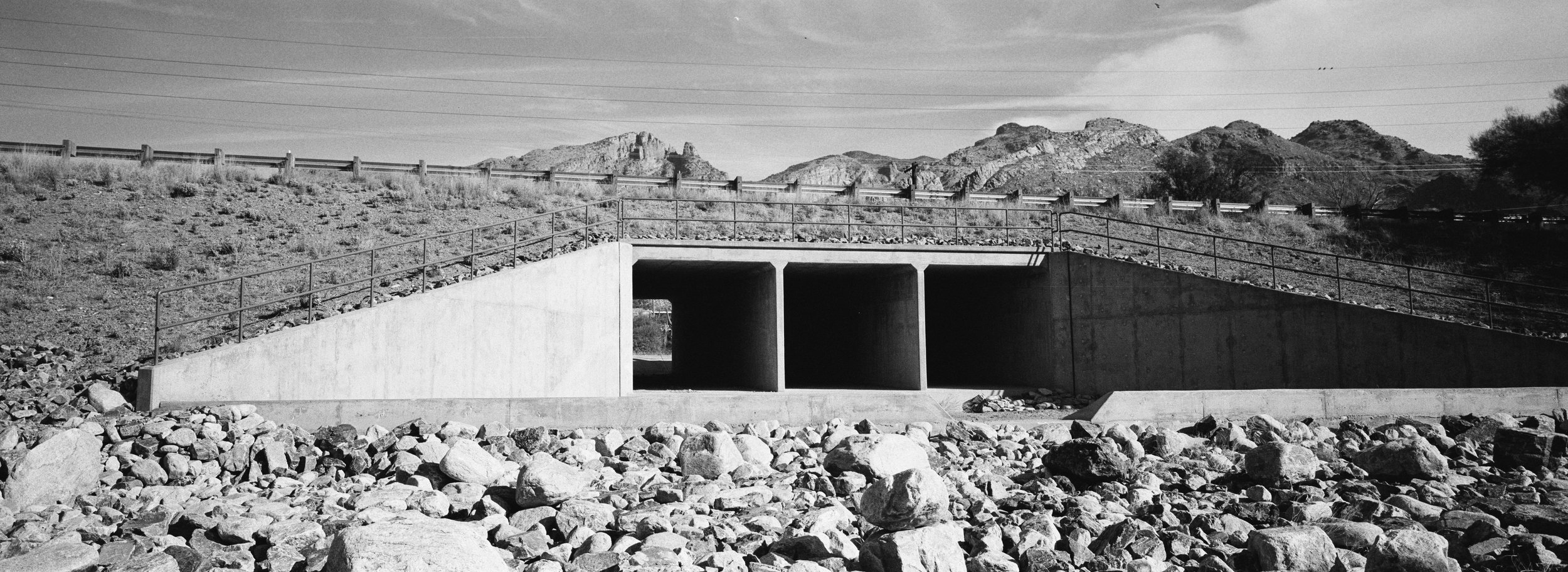
In the cities, like Tucson, massive infrastructure moves water through natural runoffs, concrete washes, and into rivers that flow into other rivers and eventually makes its way to the Colorado River. This photograph was taken on a Hasseblad Xpan Tri-X B&W film

The Pacific Ocean is where the waters of the Colorado River eventually drain. Although far from where the river pours into the ocean, this part of the Pacific is near Los Angeles, one of the closest points to reach the ocean from the Navajo Nation. Taken on a Hasselblad Xpan with Kodak Ektar100 film. f/22.

The 'American Canal' in Southern California was one of the ways Anglophone colonialists were able to divert water from the Colorado River before it reached Mexico in order to flood new agricultural fields in the United States. Taken using a Hasselblad Xpan on Cinestill 50D film.

Over the Rio Puerco spans this yellow bridge near Sanders, Arizona. This is where my dad is from. The Puerco is a 'tributary' of the Little Colorado River that eventually runs into the Colorado River. During most of the year, the Puerco is dry, but during monsoon season and during rain storms its full of water. This picture was taken in the middle of the day in the spring using a Hasselblad SWC and Iford 400 Black and White film.

The Colorado River is fed by snowmelt. The amount of water that flows through the canyons or that contained behind dams originates as snow in the basin's mountains. This is a picture of the first snow of the year on Dookʼoʼoosłííd, the Navajo sacred mountain just west of the reservation. Taken with Hasselblad SWC on Kodak Tmax 400 film

Cities in the west are replete with this particular infrastructure, concrete washes that redirect water 'runoff' into water ways like the Rillito. I took this photo near our house nearly two years ago after a rain storm. I used a Pentax Spotmatic with Harmon Phoenix film.

Winter weather figures prominently in speculation about the future of the Colorado River and "its" ability to sustain the nearly 40 million people who rely on the river. I took this photograph during a late spring snow storm on the Navajo Nation. This photograph was taken between Ganado and Window Rock and typifies reservation road conditions during winter months. There are muddy roads and slow snow melt. This picture was taken using a Pentax Spotmatic using Harmon Phoenix film.

Nanibaa and I were guests on the Yurok homelands and had the privilege to visit the confluence of the Klamath River with the Pacific Ocean. This was taken nearly at dusk with a Hasselblad SWC using Cinestill XX film.

Water infrastructure in the Navajo Nation is much different from the (colonial) cities in the region. Starting in the 1950s, the BIA and the NN invested in wells that tapped into deep water aquifers for water. Sometimes this water isn't good enough for human consumption so it's used to feed livestock and plants. This picture was taken using a Nikon 90s using Fuji Neopan Acros film.

Nanibba looking at the ocean near the confluence of the Klamath and Pacific Ocean. This picture was taken with a Hasselblad SWC using Cinestill XX Black and White film.

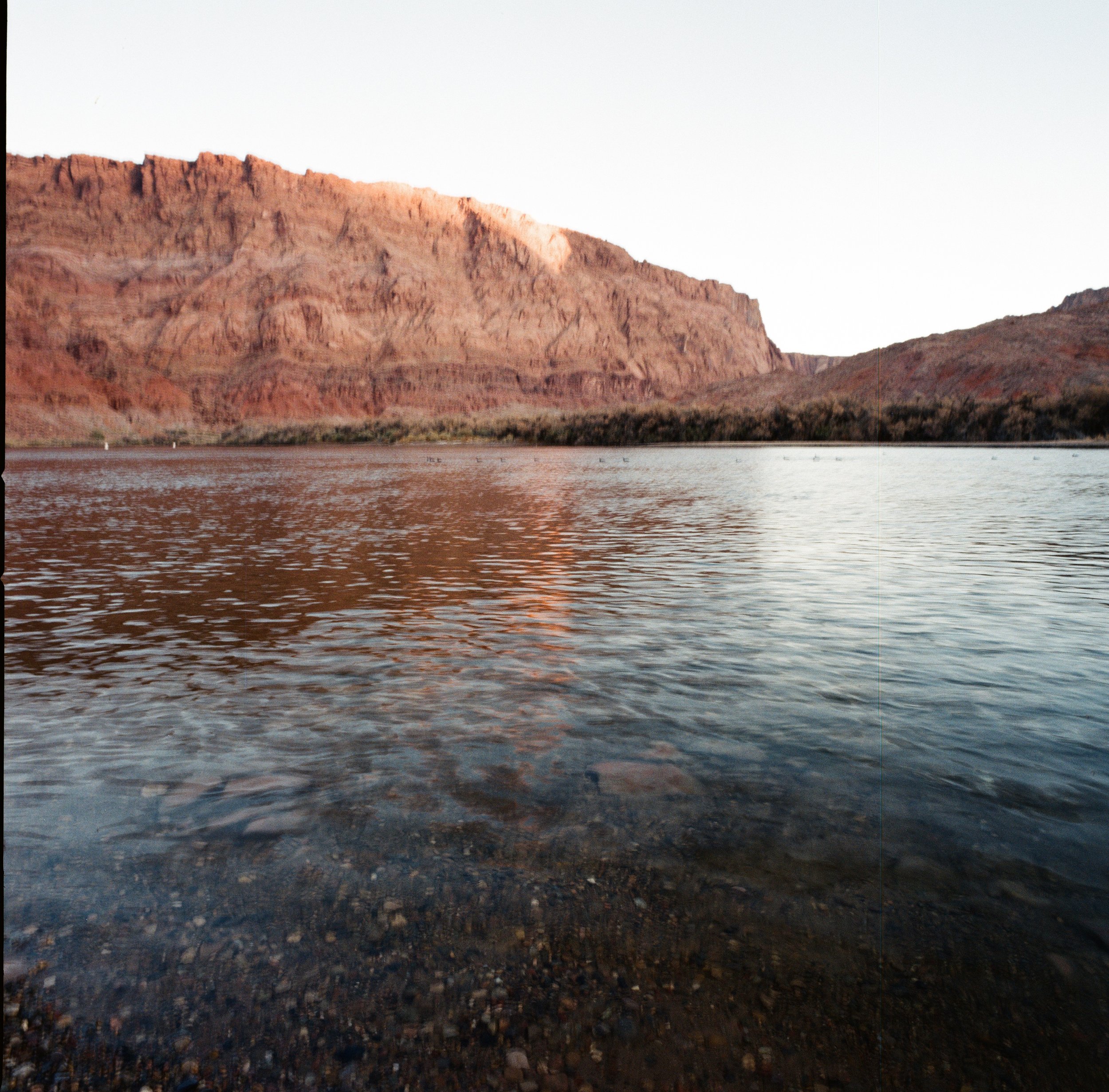
The Colorado River north of the Grand Canyon along the western edge of the Navajo Nation. I took this picture in the evening with a Rolleiflex.


